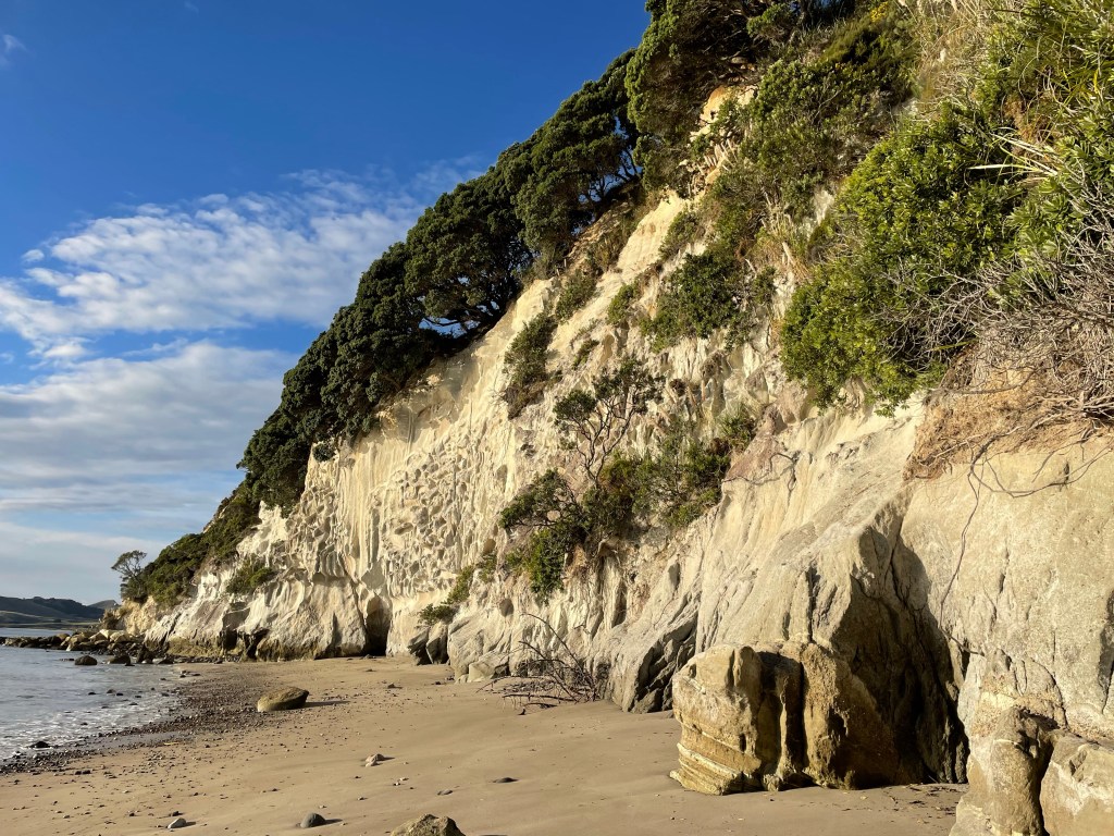
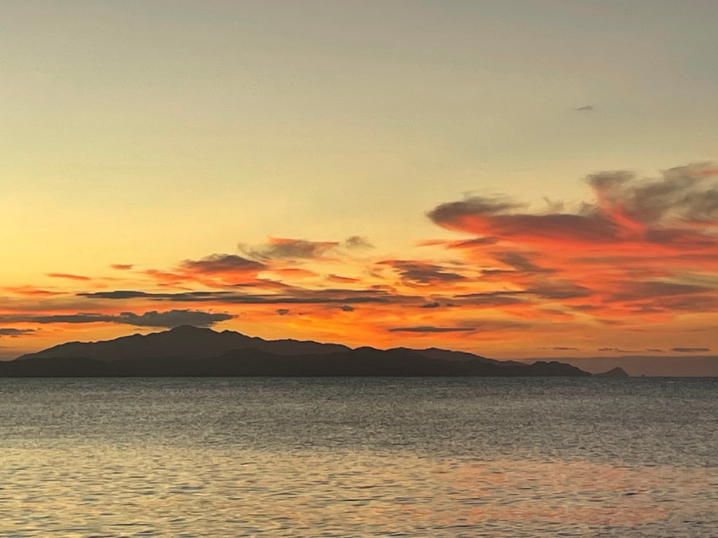
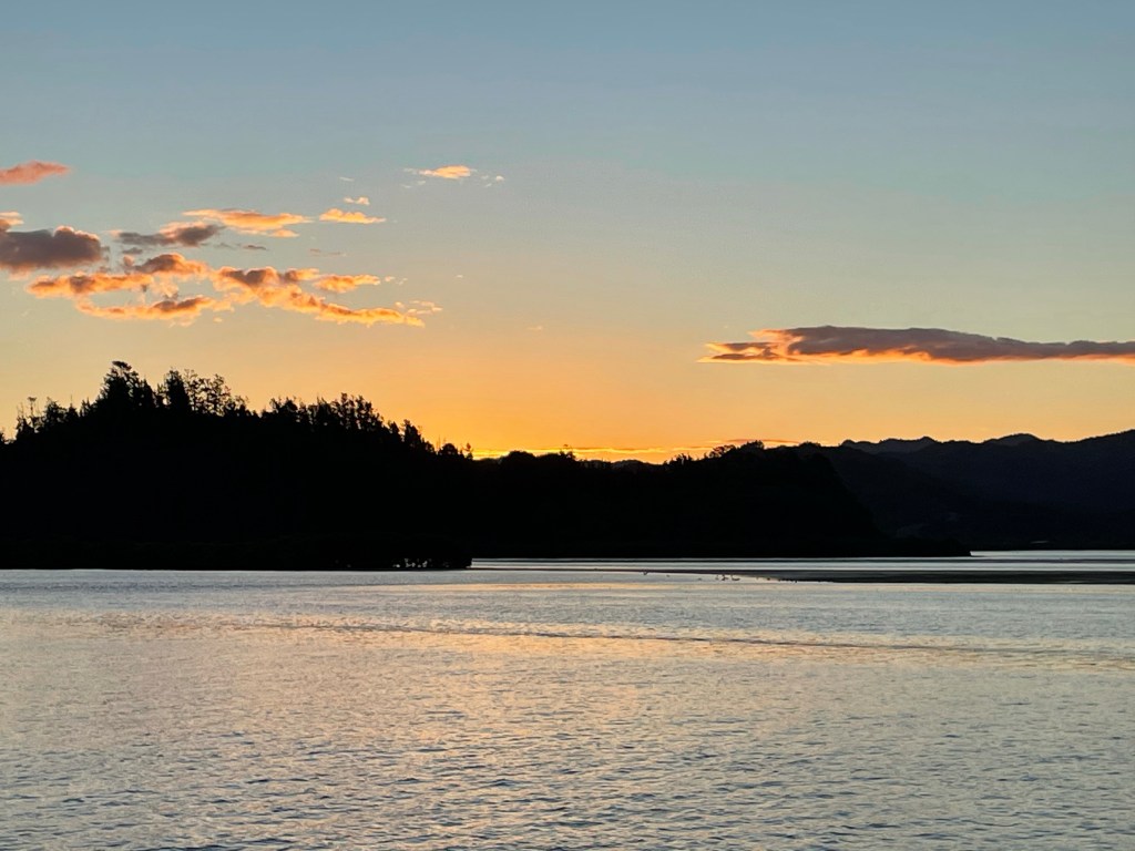
Monday, March 22nd, we left Tryphena, Great Barrier at 12:15 and headed upwind to Great Mercury Island on the East side of the Coromandel. It was a beautiful sail. The topography was quite a bit different than the Barrier Islands. The mountains of the Coromandel rise out of the ocean and there are many walls of limestone with various natural features. We arrived at Great Mercury Island at 4:20. We landed briefly at the beach but the surf was a bit too much to stay. We viewed the island by dinghy.
Video
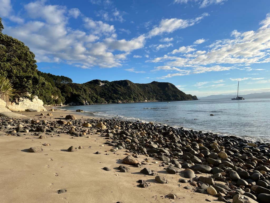
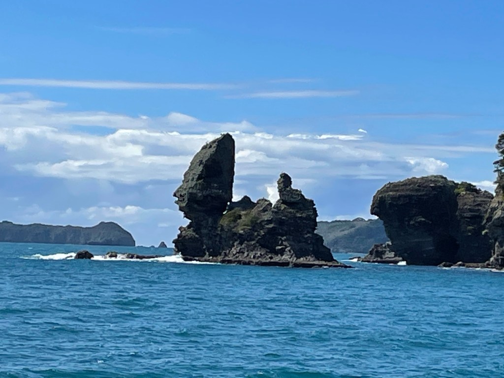
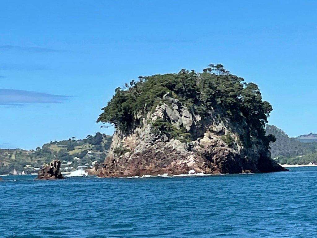
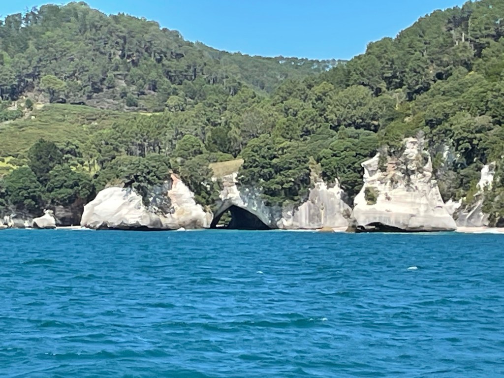
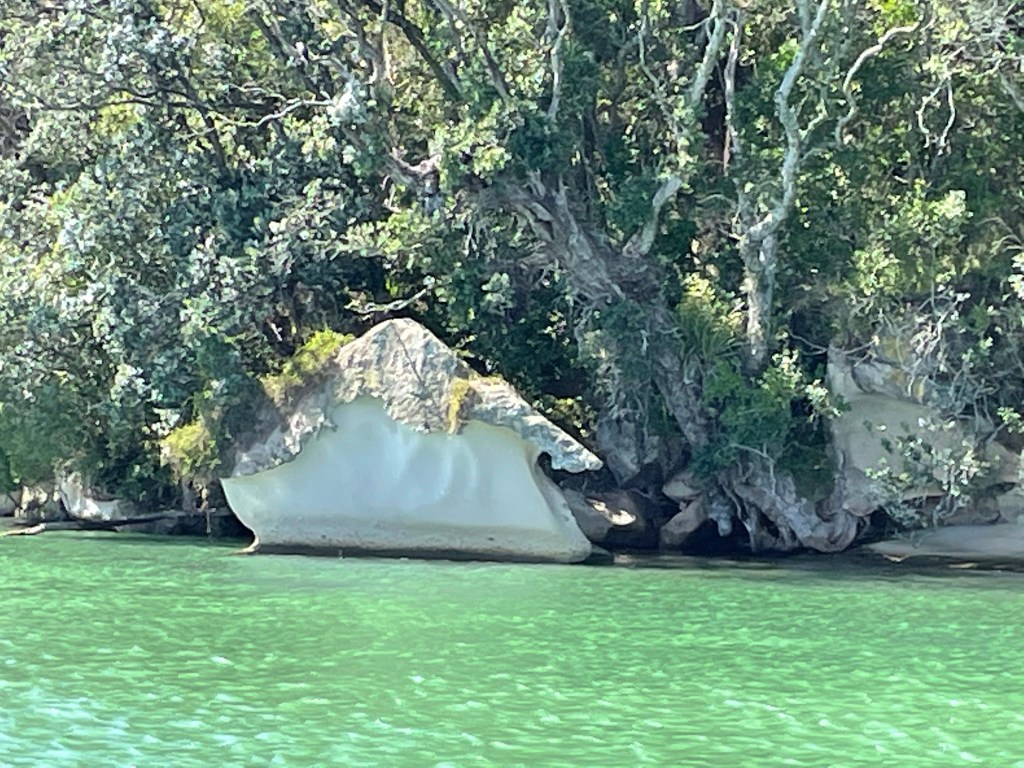
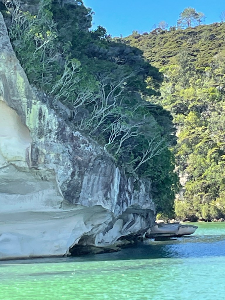
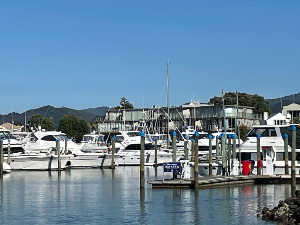
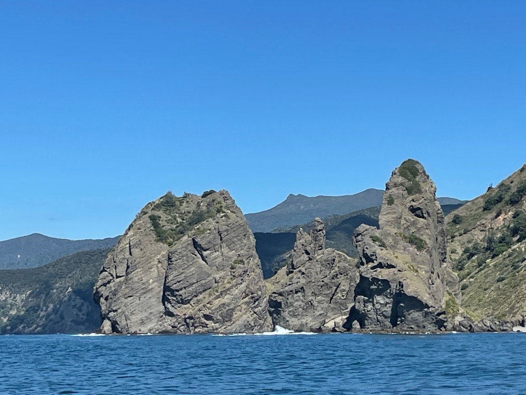
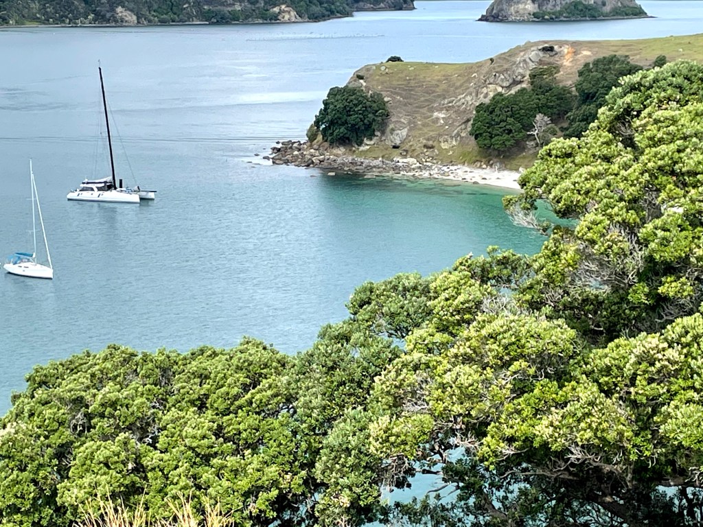
The next day we decided to go further south on the east side of the Coromandel to Whitianga. We sailed by Cathedral Cove but the wind was in the wrong direction to anchor. We viewed the natural beauty then headed in through Buffalo Bay up the Whitianga River past the marina and anchored. We tried to get a mooring but were told the Harbour Master was on vacation so no luck there. Phil and I walked to the New World grocery store in town to re-provision. When we got back to the boat a yellow charter Catamaran came by and chatted. They told us we could stay on an available mooring overnight a bit further up the river. We were grateful because the river is narrow, shallow, full of boats, and very tidal. The boat swings with the tide change.


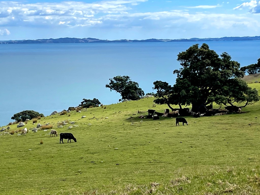
After a peaceful night we took on some fuel at the marina and headed out about 10 for what turned out to be a day of motoring, no wind all day. We went north up the east side of the Coromandel and then south down the west side. We stopped in Colville Bay about 4:15. There was no internet service and Phil had a lot of phone meetings the next morning so we moved on to Coromandel Harbour. We anchored south of Whanganui Island in a beautiful spot. The next day, Thursday, Nikolai and I went in for a short hike.
Leaving Whitianga in Mercury Bay 
Around the north of the Coromandel 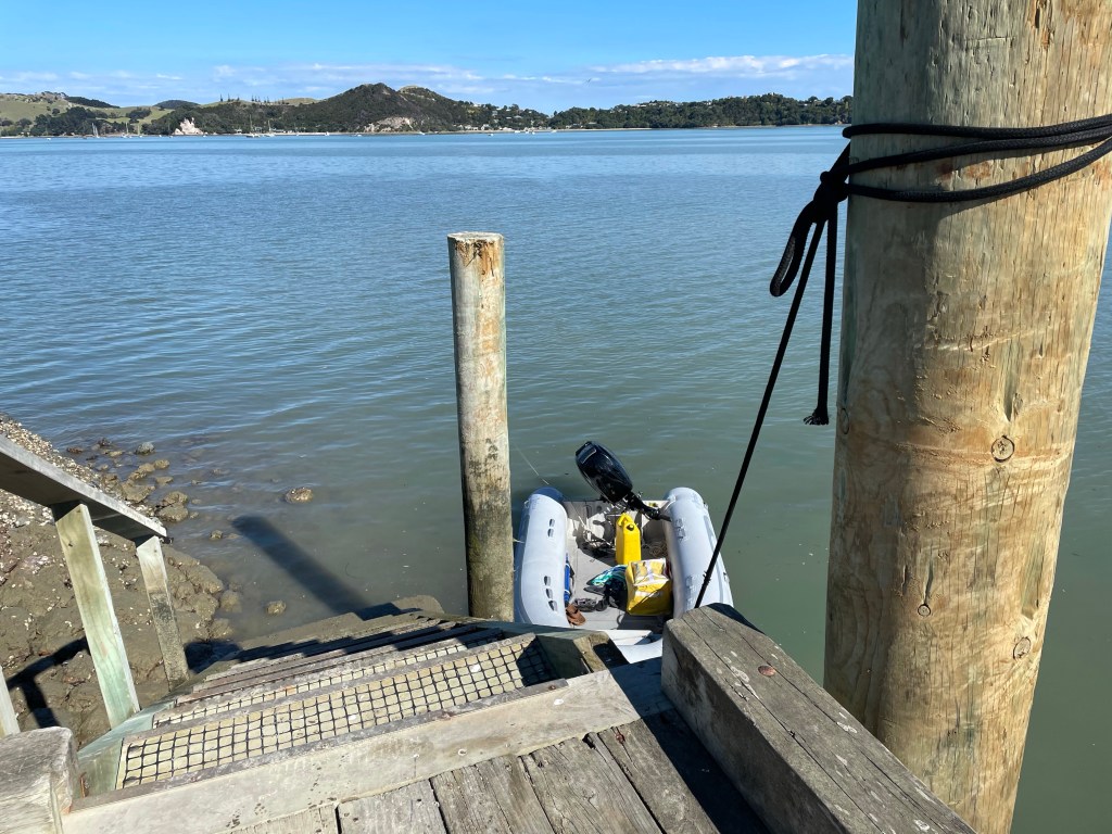
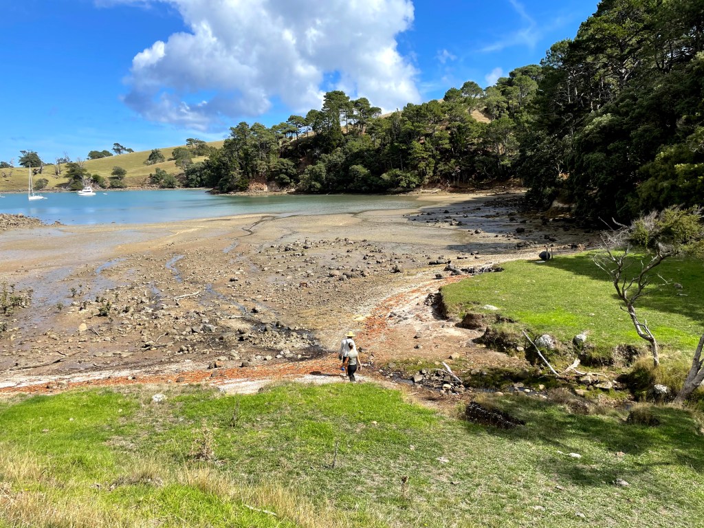
low tide at Coromandel Wharf 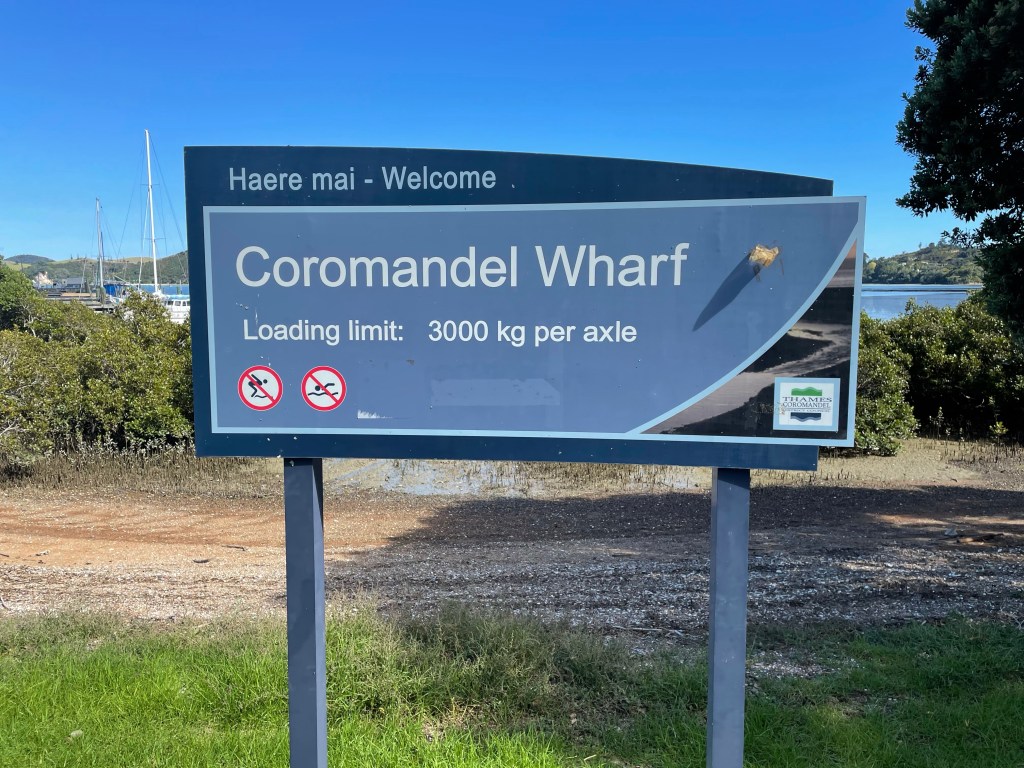
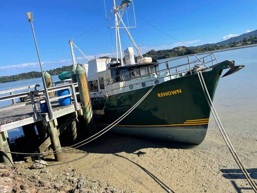
low tide, boats are grounded 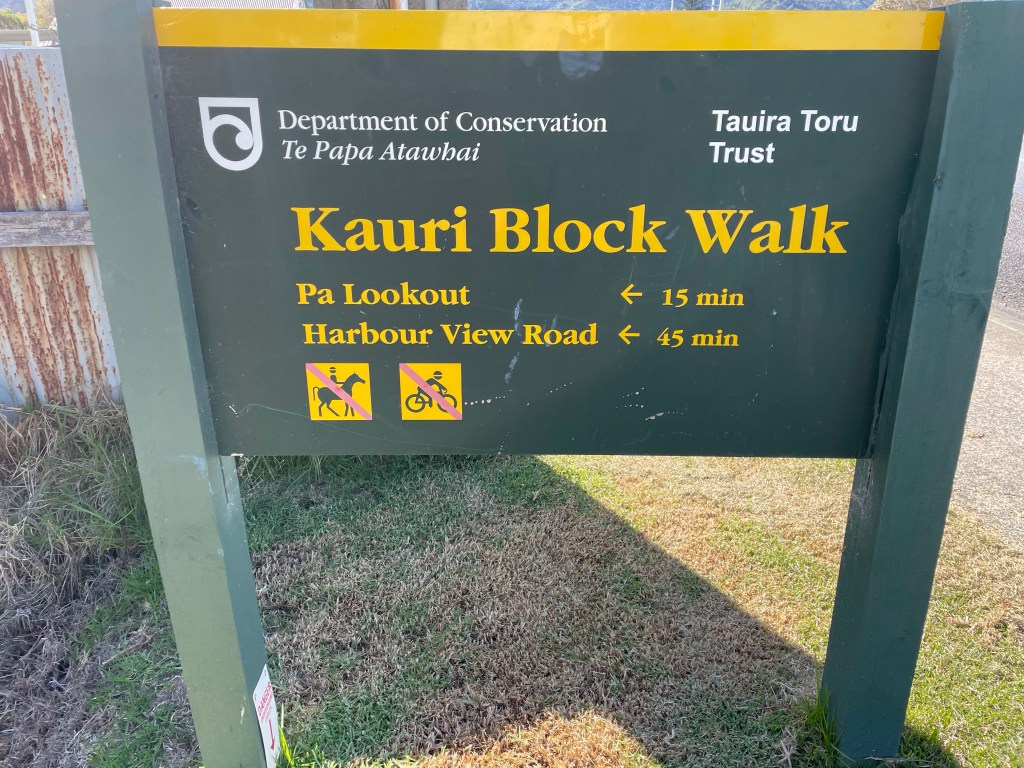
our walk 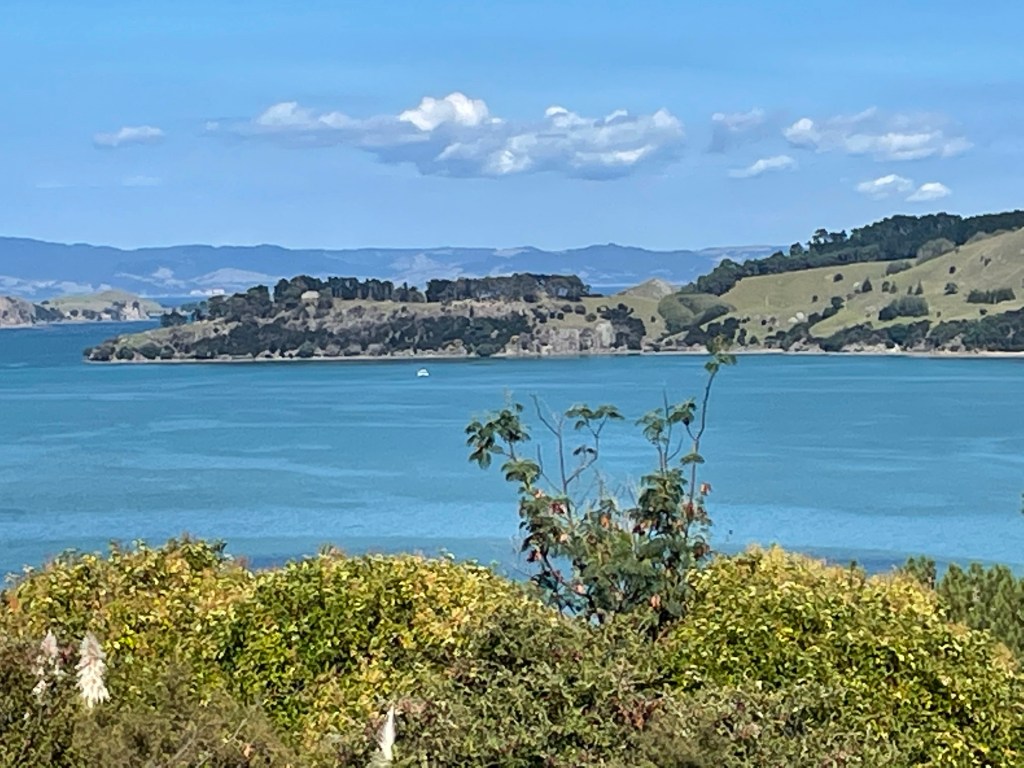
view from walk, Arethusa on anchor 
oyster farms, a common sight 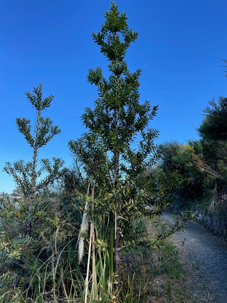
Young Kauri tree 
a NZ fountain grass 
living on a boat on land at low tide 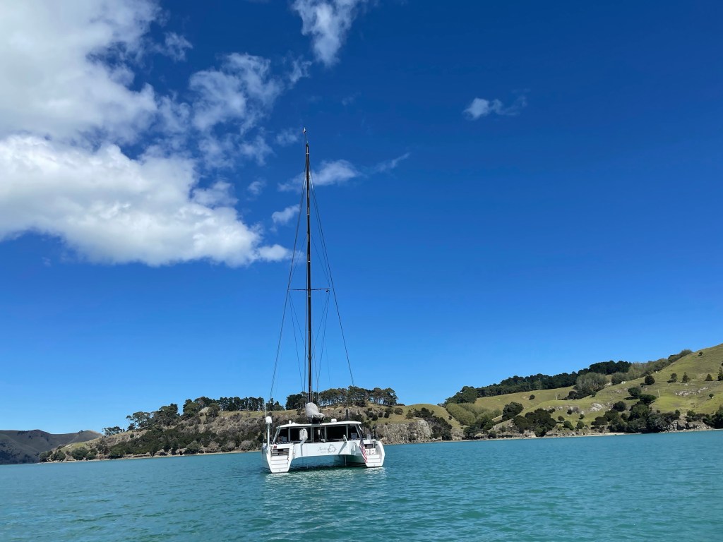
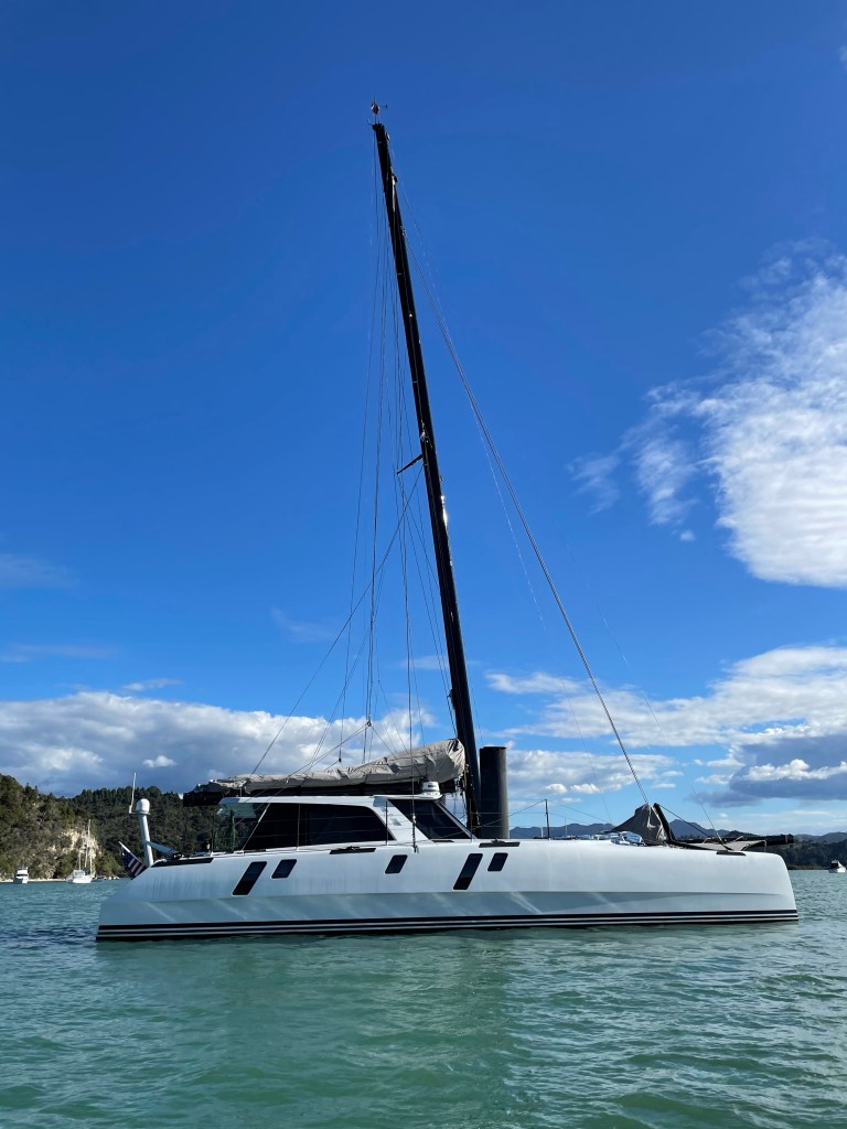
Arethusa at anchor in Coromandel Harbour
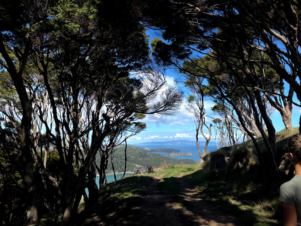
We pulled anchor after lunch and stopped at Rangipukea Island for a little exploring. Phil and I walked up the saddle for the nice view of the Hauraki Gulf and the Coromandel. We then moved to Te Kouma Harbour to anchor in the third bay in on the north side. The book recommended the second bay in, known as Squadron Bay. Clearly everyone read the book, it is a small bay and busy! The next little bay in was empty and beautiful.

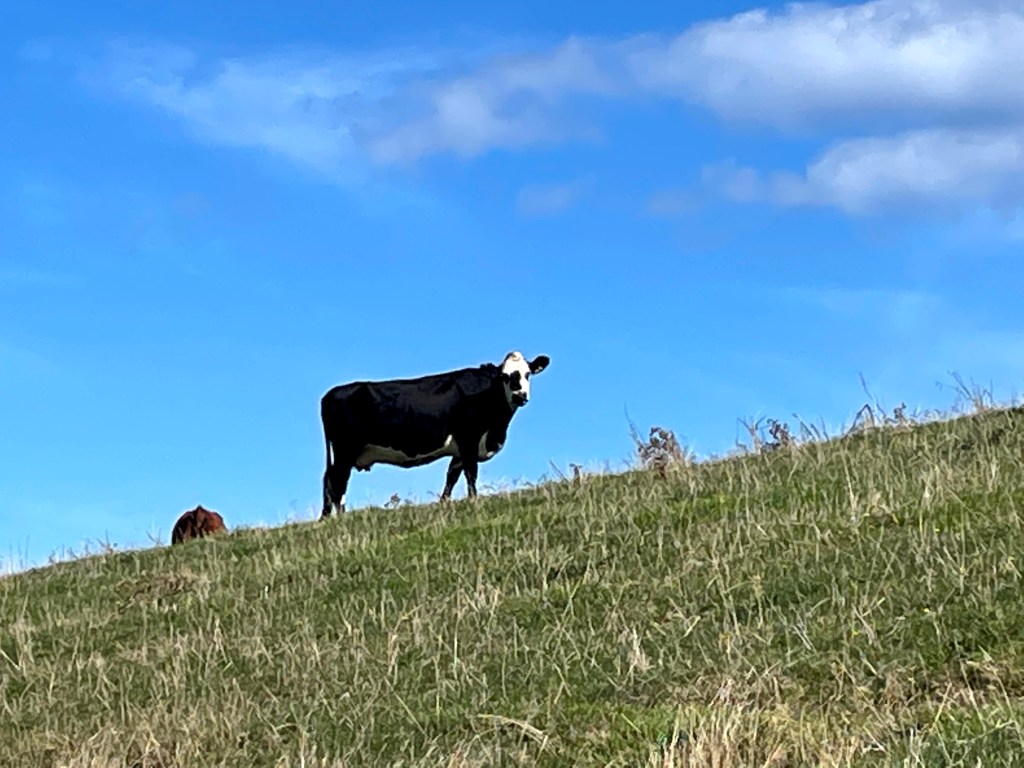
I learned about an App, Maps.me, that shows trails everywhere. You can download the map for your region on your phone so don’t need connectivity. Your phone always shows your location so you can follow the trails on the map. It proved to be a perfect companion to my ‘A Walk a Day’ book. I found walks everywhere. Freddie dropped Kat, Nikolai and me off at the beach at the beginning of the walk and we followed a trail through steep pastures up to a peak and then back down a grassy, dirt road to Squadron Bay where Freddie retrieved us later. There were beautiful views and I’m glad we had the App. I never would have been able to find the trail without it. After lunch we were ready to move on to our next harbor back toward Waiheke.


Wonderful adventures Wen!
Nancy W. Pearson
President
HarborCrest International
Mobile: +1-203-434-4890
Direct: +1-203-803-2933
http://www.harborcrest.com
LikeLike